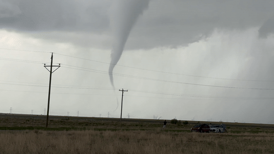
Skip to content
WT Logo website call to actionDr. Wendler Logo
Panhandle Regional News

Panhandle Regional News

  • WTAMU
  • Amarillo
  • Canyon
  • Borger
  • Childress
  • Clarendon
  • Hereford
  • Perryton
  • Pampa
  • All Towns

Category: Silverton

These Videos of Friday’s Wind and Dust Storm in the Texas Panhandle and South Plains Region Are Shocking

April 13, 2025

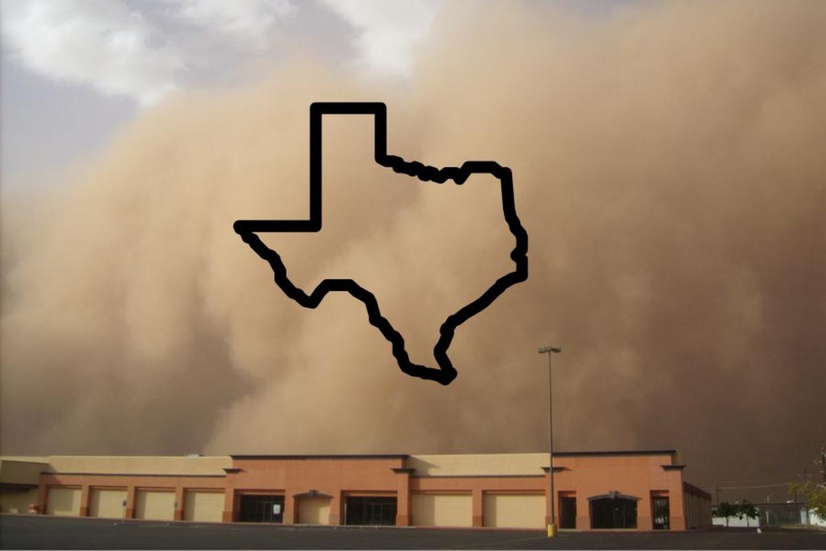
This has not been a good day to travel between Lubbock and Amarillo. Read More

Continue Reading

Obituaries in Amarillo, TX

February 26, 2025

Lola Mae Smalts, 87, of Hereford, passed away peacefully at home surrounded by her loving family on Saturday, July 27, 2024. Lola Mae Vaughan was… Read More

Continue Reading

Posts navigation

Newer posts

Recent Posts

  • How did Texas get its crop circles?
  • Dumas, TX Weather Today: Hourly Forecast
  • Texas DPS mourns state trooper killed in crash near Childress
  • Six injured in shooting on Plum Creek, one arrested
  • Six people hospitalized after gang-related shootout in Amarillo

Categories

  • Amarillo
  • Booker
  • Borger
  • Canadian
  • Canyon
  • Childress
  • Dumas
  • Fritch
  • Groom
  • Hereford
  • Memphis
  • Muleshoe
  • Palo Duro Canyon State Park
  • Pampa
  • Shamrock
  • Silverton
  • Spearman
  • Texline
  • Uncategorized
  • White Deer
  • WTAMU

Towns

ABOUT THE PANHANDLE

The Texas Panhandle is a region of the U.S. state of Texas consisting of the northernmost 26 counties in the state. The panhandle is a rectangular area bordered by New Mexico to the west and Oklahoma to the north and east. It is adjacent to the Oklahoma Panhandle. The Handbook of Texas defines the southern border of Swisher County as the southern boundary of the Texas Panhandle region.


Policy and Privacy | Accessibility | Contacts

Recent

  • How did Texas get its crop circles?

    June 19, 2026@NatGeo
  • Dumas, TX Weather Today: Hourly Forecast

    June 19, 2026@weatherbug
Panhandle | Theme: News Portal by Mystery Themes.